Snow Storm in Atlanta

After the late January snow storm that crippled Atlanta, the city was better prepared for the "storm of the decade" as some media outlets were calling it. In fact, most business and schools came out and said they were shutting down for the day. The governor of Georgia issued a state of emergency for 45 counties across much of northern GA, including most counties in the metropolitan Atlanta area.

Based on my experience, the storm wasn't as bad as some people predicted. I went out for a stroll around my neighborhood this afternoon and captured the photos below. Most of the falling precipitation was falling ice rather than accumulating snow. 

My stroll took me across the major thoroughfares in Buckhead: Piedmont Road and Peachtree Road. The following photos show that the roads were well treated.

Ice-encrusted trees across the Hotel Intercontinental in Buckhead (Atlanta, GA).

Piedmont road at around 2PM. A car would pass once every couple of minutes. Most Atlantans stayed off the roads today.

This is the Piedmont Road/Peachtree Road intersection in Buckhead. Not a car in sight...

A car veers onto the on-ramp for GA-400, headed northbound.

Piedmont Road was deserted, but treated with salt/sand earlier.

A view of Twin Peaks and Farm Burger on Piedmont Road in Buckhead.

The bright peach state, covered by icicles, on February 12, 2014.

Atlanta Police making their rounds on Peachtree Road.

A lot of the businesses were closed. Here's a selection:

My favorite burrito place, Chipotle, looking empty.

All Caribou locations across Atlanta were shut down today. I was staying safe and warm, thank you, Caribou.

One of the few exceptions I stumbled upon, and where I warmed up for a few minutes, was this Kroger that was open on Piedmont Road. 

The Sovereign Building, the tallest building in Buckhead, seen across Piedmont Road.

The Southern Art menu is not decipherable under the ice/freezing rain.

A car in the Kroger parking lot, bracing the elements.

A treated Piedmont Road. 

Corner Bakery was closed too...

Along my winter stroll, I came across people who were doing the same. They were enjoying the weather, taking walks, shopping, or otherwise seeing what everyone else was up to in the neighborhood.

This poor man was hauling his luggage on Piedmont Road. He had about 3/4th of a mile to go to reach his hotel further up Piedmont Road.

What a capture! As I turned around, the man from the couple featured above, decided to do a "foot low five." 

Everyone, meet the adorable Molly. "She needs her daily walk."

Taking it easy...

An urban, wintry landscape, punctuated by a walker.

Since no one was on the roads, it was perfectly acceptable to walk in the middle of the city streets. In fact, it was probably advantageous/safer to do so, away from power lines that had accumulated ice.

When you can't drive, why not go for a bike ride as these two ladies did?

And a few more scenes from my urban walk:

An old truck idles on Lenox Road, across Lenox Square Mall.

Hello, inverted signs.

Lenox Square Mall was completely deserted. An eerie, but beautiful, sight.

An advertisement for an iPhone 5C on a wall of a MARTA bus station.

A local church.

"You and I need answers." How come this storm was so overblown, for example?

My last stretch of the stroll was on a local road, and I captured the following neighborhood scenes:

Park Avenue, iced. 

No construction on this afternoon.

This tree branch, weighed down by ice, blocked a portion of the sidewalk.

Icicles were common.

This. Old. House.

I framed this beautiful house against icy branches across the street. 

A juxtaposition: a cone, a tree branch, and my footprint.

"Good fences make good neighbors." One of my favorite scenes on my walk.

This winter storm largely spared the metro Atlanta area. Nevertheless, today made for a wonderful snow day for those of us who worked/stayed at home (which was most of Atlanta). I hope you enjoyed these photographs!

###

All photographs © by: Eugene Buchko // eugene.buchko@gmail.com
 

Hiking The Pisgah National Forest in North Carolina

Over the Labor Day weekend, my friends and I traveled to the Pisgah National Forest (part of the Appalachian Mountains) in North Carolina for a three-day hiking/camping trip. 

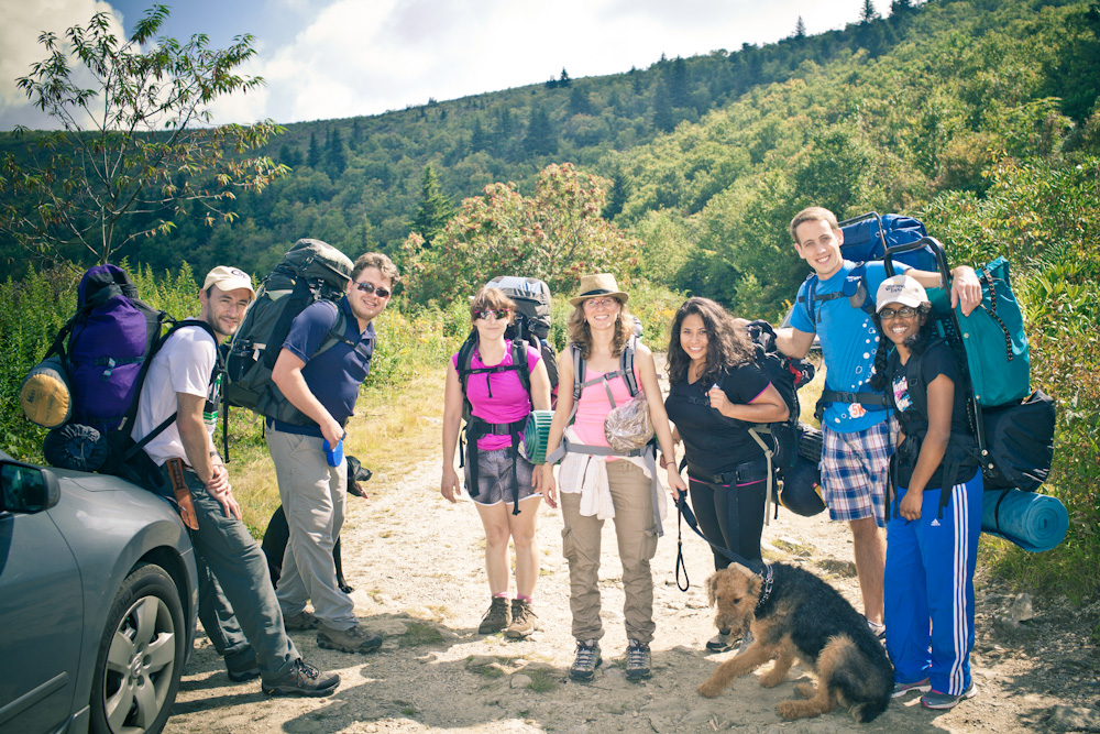
The half million acres of the Pisgah National Forest surrounding Asheville, NC features some of the most beautiful and rugged mountain scenery. Our goal was to traverse about 19 miles over three days. On the first day, we arrived at the tip of the Art Loeb Trail and set off. Here's our happy group as we arrived:

Happy faces before departing for the day's hike.

Happy faces before departing for the day's hike.

 After four miles of hiking, we were caught in a downpour and scrambled to find a place to camp. It took me some time to set up my small tent, but after receiving some help, I was already drenched and needed to change clothes. After the rain ended, we were treated to this spectacular view at our campsite:   

The sun shines through the trees after a downpour.

The sun shines through the trees after a downpour.

In the evening, we made dinner (spaghetti!) and shared a few cups of a drink I've never had before:

IMG_9747.jpg

We wound down the evening by making a fire. The following morning, we had breakfast, put away our tents and other gear, and prepared to go for a ten-mile round-trip hike to Cold Mountain. It was a moderately strenuous hike. 

What I remember most is getting to the peak of Cold Mountain and looking into the distance and seeing these giant rain clouds. And then this depressed sound, sort of like a drum in the distance. It wasn't thunder. It was rain hitting the treetops in the distance. I've never heard this kind of sound before on a mountaintop, and it was glorious.  

After taking a few photos at the top of the peak, we headed back to the campsite where we stayed the previous night. 

We ended up saving the best part of the hike for the final day (on Labor Day). On this day, we hiked through the Black Balsam area that includes some of the most spectacular mountain balds in the Southern Appalachians. This area above 6,000 feet in elevation is almost entire devoid of trees. I captured this photo of our group as we were traversing the trail:

IMG_9752.jpg

Here, we took a brief respite, drank some water, and took some fun pictures.  

Group photo! Self timer on my dSLR which sat on my backpack.

Group photo! Self timer on my dSLR which sat on my backpack.

Portrait in the wilderness

Portrait in the wilderness

I took some time and captured the butterflies in the area:

butterflies1.jpg
butterflies2.jpg
butterflies3.jpg

We then proceeded on the Art Loeb Trail for a couple more hours and got back to ours cars. Along the way, we stopped a number of times to pick on the fresh blueberries. They were delicious!

Overall, the camping trip was a great success. We were sweaty, exhausted, but everyone had a great time (minus getting stung by the pesky wasps). I highly recommended checking out this part of the Appalachian Trail if you're looking for a weekend getaway. The trails are well maintained from spring to autumn, there are plenty of camp sites in which to camp, and the views are wonderful.

### 

Note: you can see some of the photos featured in this post in my gallery, Appalachian Mountains

The 2013 Inman Park Festival and Parade

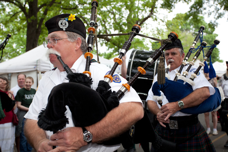
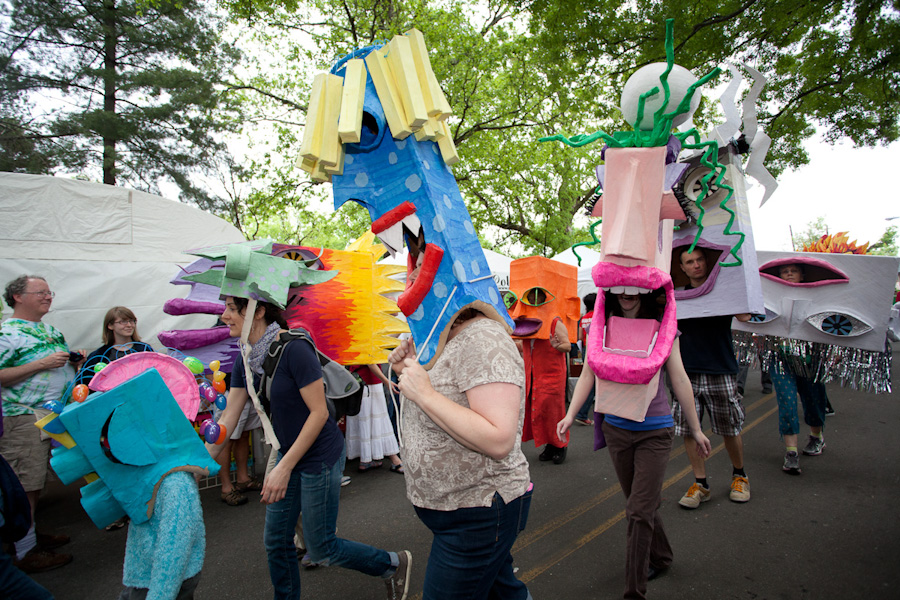
​This past weekend, I attended the Inman Park Festival. Perhaps the highlight of the event was the Inman Park Parade on Saturday afternoon. I've posted the set of images on my Flickr page, but I wanted to highlight my favorites from the parade in the gallery below.

Post-Processing: an Image from Wyoming

​At the moment, if you navigate to the home page of this site, the gallery that loads is that of Yellowstone National Park. Technically, I've included a couple of images in that gallery from the neighboring Grand Teton National Park as well.

​But on the way to Yellowstone, there were a number of beautiful stops along the way. I wanted to highlight my post-processing one of these images.

I photograph in RAW and use Adobe Lightroom to import my images. Below, the RAW image as converted to JPEG:

​Jackson River in Wyoming. Unprocessed JPEG.

​I then exported the image into Adobe Photoshop CS5, where I made a few edits. First, I wanted to make the foreground sharper (the rocks, river, and the plants). Second, I wanted to bring some clarity into the clouds in the sky (it is slightly blown out in the original). The final edit looks like this:

The Jackson River. Edited version.

​You'll notice that I've also altered the color of the sky from off-white to blue/purple. I was able to do that by changing my color mode from RGB to Lab in Photoshop (Image --> Mode --> Lab Color). Then I went to the Curves Adjustment tool and selected the "b" channel. From there, all you have to do is pull the curve ever so slightly downward to bring the blue hues into the image. Here's a screenshot:

​Screenshot of LAB color mode and a very slight curves adjustment to the "b" curve to bring in the bluish hues.

This is a very simple post-processing technique but I've found it works quite effectively. If I wanted to create a more orange/yellow look, all I have to do is pull the curve in the opposite (up) direction above. ​

That's my brief photography tutorial of the week. If you have questions, please leave a comment below. ​

###

Note: if you want to see my entire gallery from Yellowstone (including detailed captions), follow this link.​